Maps and Atlases
Individual printed and hand drawn maps and atlases from the 17th century to the present, focusing on the Town of Huntington, Long Island and New York State can be found in the collection.
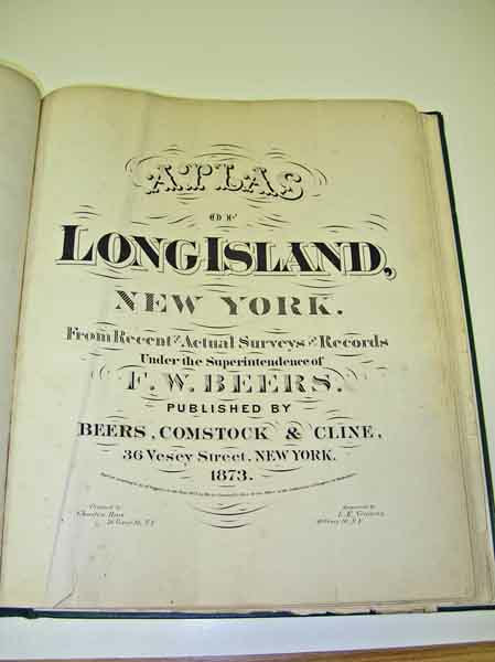
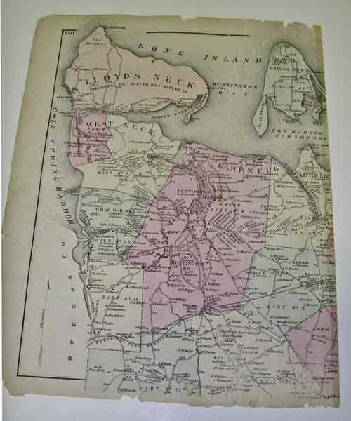
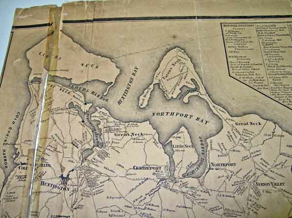
Among the highlights are the 1858 Chace Map of Suffolk County, the 1873 Beers, Comstock and Cline Atlas of Long Island, E. Belcher Hyde’s Atlas of Nassau County for 1906 and 1914 and Suffolk County for 1909 and 1917. Also present are road maps, surveys, and property maps for specific locations.
Among the highlights are the 1858 Chace Map of Suffolk County, the 1873 Beers, Comstock and Cline Atlas of Long Island, E. Belcher Hyde’s Atlas of Nassau County for 1906 and 1914 and Suffolk County for 1909 and 1917. Also present are road maps, surveys, and property maps for specific locations.


